The mapping project allows you to chose an area anywhere in the world that you would like to map! When deciding on an area it is important to keep in mind the logistics of each area, including the costs and various safety considerations of travelling, living and mapping in each area for the entire ~4-6 weeks. In addition it's important to choose somewhere where the quality and variety of both rock types and structure is relatively high, and an area where there is both relatively good exposure and accessibility.
For more advice on what considerations to make when selecting an area, click here, and also make sure to read the Mapping Project Guide (on Weblearn under Sites > 3rd Year Course > Mapping Project) and the Undergraduate Handbook for a list of criteria and specifications that the chosen area must meet.
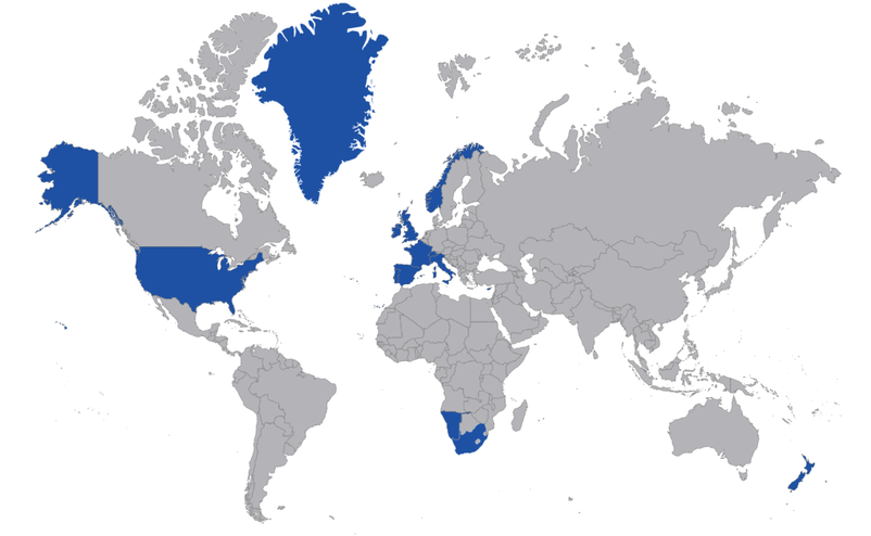
Many undergraduates choose to go to areas that have already been mapped before because there is extra advice available, provided by past students, on the accessibility, exposure and safety of these areas, as well as as a rough guide to the costs and types of rocks to expect. Click below to explore and learn more about some of the areas that previous undergraduates have mapped:
For more advice on what considerations to make when selecting an area, click here, and also make sure to read the Mapping Project Guide (on Weblearn under Sites > 3rd Year Course > Mapping Project) and the Undergraduate Handbook for a list of criteria and specifications that the chosen area must meet.
Many undergraduates choose to go to areas that have already been mapped before because there is extra advice available, provided by past students, on the accessibility, exposure and safety of these areas, as well as as a rough guide to the costs and types of rocks to expect. Click below to explore and learn more about some of the areas that previous undergraduates have mapped:
If none of these areas take your fancy you can choose a new area. It's probably worth researching areas that undergraduates from other universities have gone to, because those areas are generally more likely to be suitable for mapping and will have more available literature to read about the area's geology than somewhere that no one has ever mapped before. It is also worth speaking to your Professors as they may be able to give you some advice and tips on where else in the world might be interesting and suitable to map based on your particular preferences.
If your group finds somewhere that you are interested in mapping, but the area hasn't been mapped before, make sure to research the area thoroughly before submitting your mapping plan for approval, including:
If your group finds somewhere that you are interested in mapping, but the area hasn't been mapped before, make sure to research the area thoroughly before submitting your mapping plan for approval, including:
- Survey the area on GoogleEarth to check what the terrain, accessibility and exposure is like, and that you are actually going to be able to map a lot of rocks within the area you have chosen.
- Try to access any already-made geological maps of the area if possible to get an idea for the geology you might expect - make sure that there is enough rock type and structural variety, but that the area isn't too complicated that you wouldn't be able to map it all within the 4-6 weeks you're there.
- Contact geologists at any nearby universities to ask them advice about mapping in that area, to find out more about the rocks you might expect to encounter and/or to learn more about potential hazards within the area.
- Discuss the area that you are interested in with relevant Professors in department, so they can give you some pointers on what considerations you need to make when writing your mapping plan. Some of them may even be familiar with the area/rocks within the area that you have chosen or know someone who is who can give you further advice on the area.
- Check the UK's foreign travel advice page, as well as local travel guidance websites and/or local parks/wildlife websites to make sure that the area is safe to visit, that you will not need additional permits to access the area and also to make notes on any of the possible hazards you might encounter so that you can fill in your Risk Assessment Forms properly.
- If the area is quite far from a town/city make sure there will definitely enough mobile phone service coverage in case of emergencies.
- Research the costs of accomodation, travel and approximate living expenses (i.e. food, toiletries etc.) and draw up a rough budget to make sure every member of your mapping group will be able to afford to travel and map in that region for the entire duration of the trip. To find out more about the funding and grants available to help cover the costs of your mapping trip, click here.
|
Copyright © 2020 Oxford University Geological Society
|
