|
Like many Earth Science and Geology courses across the UK, a large component of your undergraduate degree is the completion of the 'Independent Mapping Project'. Throughout your second year you will begin the planning stage for your project, deciding where in the world you might want to go and sorting out various logistics for the duration of your stay.
Previous undergraduates have mapped all over the world, everywhere from South Africa to Greenland, Italy to Namibia, the USA to New Zealand - just to name a few! The department has records dating back decades of every area mapped by past undergraduates which you can use for inspiration and to get a sense of what to expect in each different area. Or you could decide to trail-blaze and choose a completely new area that's never been mapped before, with guidance provided by the department. For some ideas of where in the world you might end up mapping check out our Possible Mapping Areas page! In the Summer between the 2nd and 3rd year of your degree, you and your group (typically consisting of 2 to 6 members) will venture out for on average 4-6 weeks, working and living together to map the geology of your chosen area. Many undergraduates fondly remember their mapping trip as one of the best and most exciting parts of their entire degree. Below some past undergraduates tell us about their own mapping project experiences: |
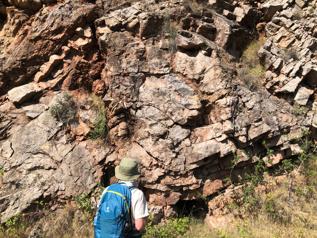
An Earth Scientist sketching, making notes on and interpreting a complex ductile deformation pattern observed in this outcrop as part of their Independent Mapping Project.
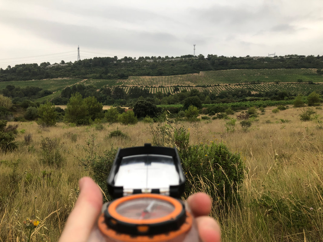
Navigating and orientating yourself correctly in the field are key skills you will need during your Independent Mapping Project. You will learn these skills and many others during your first and second year field trips.
|
Mapping in the French-Italian Alps
by Tom Reershemius (Worcester College, 2015-2019)
For their Independent Mapping Project, OUGS members Tom Reershemius, Dan Sidwell, Sandy Doran, Kelsey Lovell, Felix Duxfield travelled to Montgenèvre, located on the French-Italian border in the Alps.
Mapping in the mountains was massively fun and rewarding, but not without its challenges – our areas covered a ridge line and valleys coming off it to the North and South respectively, so both of our groups had height differences of about 500m to tackle most days, with steep terrain and some sheer rock faces and scree slopes that limited accessibility. Over the entire trip we’d climbed 1.2x the height of Everest… so fitness was definitely a factor in deciding to map here. Having said that, conditions otherwise were pretty ideal – it only rained on three days (although these were pretty torrential thunderstorms, which were madly unpredictable and we’d sometimes be able to watch climb up a valley from above). Temperatures were lovely, between about 15-25ºC, and there were minimal bugs (no need for midge nets like in Scotland). For spectacular views, there’s nowhere better.
Geologically the main feature we had in our mapping area was the Chenaillet ophiolite sequence – one of the best preserved in Europe, featuring some mad pillow basalts and a ton of serpentinised peridotite. Structurally, the area features a range of folds and thrusts (as you’d expect in a mountain belt), which we definitely found challenging to get our head around, although by the end of our time out there we were pretty well acquainted with our area.
Our typical days would follow a similar routine: wake up at 8, leave the flat at 9 and catch a ski lift up to the ridge line, followed by a walk to the specific mapping area for the day. Work (with one or two breaks for lunch/snacks) would be until about 4/5 in the afternoon – often we’d try to catch the last lift down at 4. We took it in turns to cook and got quite creative with meals. The evenings involved a bit of work, copying out fieldslips, but most nights we’d have time for chill activities later – we got through quite a few films in our time there. We had rest days every five-ten days which we used to lie in and explore a bit of the area, including a trip to a lake for a swim and some sightseeing round a medieval town perched on a hill nearby.
Montgenèvre, where we stayed, is a ski resort, so there were a lot of good deals for out-of-season summer rentals for flats – although speaking French and going direct through the letting company rather than booking.com meant we saved a good £300 each (compared to a group from Aberdeen who were out there the same time as us). Travel was more expensive than if we’d gone to Scotland, but overall costs weren’t too bad, helped by the fact that we went by car and did most of our shopping in the hypermarket in the big town 15 minutes’ drive away. We probably went over budget by about £100 but it was definitely worth it – with a few days spare at the end we almost felt like we were on holiday at points – and we saw the Tour de France come through on one of the mountain stages.
Greenland Mapping DocumentaryBack in 2013, OUGS members Eleni Wood, Anna Bidgood, Chantelle Roelofse and Rob Fox (3rd Year) were part of an expedition to map an area near Igaliku, south-west Greenland as part of their Independent Mapping Projects.
During their trip, Eleni Wood took the time to produce a short film about the project aimed at secondary school and sixth form level. She has given her kind permission for her film to be shown on our site. It is one of the many examples of the exciting projects that people can embark upon as part of the Earth Science degree. An exciting adventure such as this could easily be you! |
|
|
Copyright © 2020 Oxford University Geological Society
|
